


Framed or unframed, desk size to sofa size, printed by us in Arizona and Alabama since 2007. Explore now.
Shorpy is funded by you. Patreon contributors get an ad-free experience.
Learn more.


- Details, Details
- What's that building to the left of the tower?
- Coal Barges
- Bromo-Seltzer
- Inner harbor
- The Basin
- What a headache!
- Giant stepladder?
- Baldwin 62303
- Baldwin VO-1000
- Cold
- No expense spared
- Tough Guys
- Lost in Toyland
- And without gloves
- If I were a blindfolded time traveler
- Smoke Consumer Also Cooks
- Oh that stove!
- Possibly still there?
- What?!?
- $100 Reward
- Freeze Frame
- Texas Flyer wanted
- Just a Year Too Soon
- WWII -- Replacing men with women at the railroad crossing.
- Yes, Icing
- You kids drive me nuts!
- NOT An Easy Job
- I wonder
- Just add window boxes

Photos submitted by Shorpy members!
Print Emporium


The Lonely City: 1940

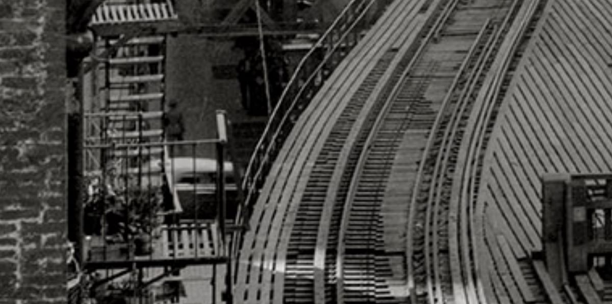
September 7, 1940. New York. "Greenwich Street Study (plot plan). Looking south along west side of Greenwich Street toward Battery over elevated structure (demolished Fall)." 5x7 inch acetate negative by Stanley P. Mixon for the Historic American Buildings Survey. View full size.
Submitted for your approval
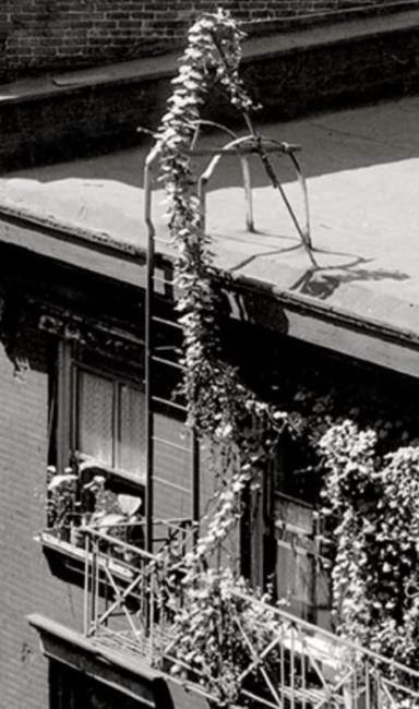
Dave's title made me think of Edward Hopper. So, I went looking for closer up examples of what I think was Hopper's kind of work.
Attachment 1
Attachment 2
Attachment 3
It still has a lonely feel
Based on maxvar confirming the building on the right, here is the Street View today. I'm thinking the building on the left in 1940 is the building on the left below, with the tall arch. On the right is the Manhattan end of the Hugh L. Carey tunnel, an almost two-mile tunnel under Battery Park and the East River, the other end emerging Brooklyn.
Two Elevated Train Lines for the Price of One
The four tracks in the foreground belong to the Ninth Avenue El, which opened its first stretch in 1868; eventually it extended all the way to 155th Street in northern Manhattan, adjacent to the Polo Grounds. The two tracks in the background, which curve to the left and then come to abrupt halt, mark the already demolished junction with the Sixth Avenue El, first opened in 1878 and extending to a terminal at 58th Street, just one block south of Central Park. The Sixth Avenue tracks were demolished after the end of train service in 1938; the Ninth Avenue tracks we see here were torn down in 1940, not long after this photograph was taken. Both lines originally continued south (towards the top of the photo) to their southern terminus at South Ferry.
Still there
This building is still there but after several modifications.

Four-play
Manhattan was bisected --quadrasected? quintisected? -- by a quartet of elevated lines that originated at South Ferry (house) and ran north; the lines were consolidated in the downtown area (Second and Third Avenues on the east, Sixth and Ninth Aves -- shown here -- on the west). As indicated, most of the system was dismantled on the eve of WWII, the scrap metal being shipped to ... Japan! But the Third Avenue El survived until 1955, and the Bronx portion two decades beyond that.
Most of the larger buildings here still survive, as does New York Bay (though the water has been changed a number of times since this picture).
On Shorpy:
Today’s Top 5